 © АО «Концерн «Калашников»

Modern drones are increasingly equipped with technologies that allow them to stay on course even when satellite navigation signals are jammed. Military Affairs examined how these systems work.
Russian and Ukrainian developers are introducing technologies that allow unmanned aircraft to maintain their course, identify targets and complete attacks even when Global Positioning System signals or radio communications are unavailable.
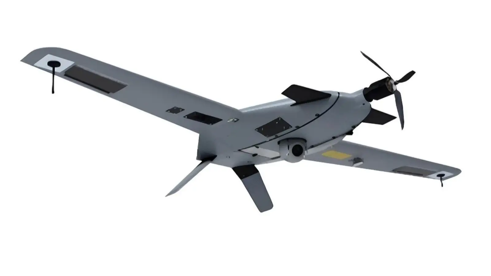
One example is Russia’s Susanin navigation system. In October 2026, Ukraine’s Main Intelligence Directorate (HUR) reported finding the equipment aboard Russian Geran-4 and Geran-5 drones.
Unlike conventional satellite navigation, Susanin uses images of the ground to determine an aircraft’s position. Reference images of the terrain are stored in the drone’s memory before launch. During flight, an onboard camera records the landscape, while a computer compares the live footage with the stored imagery.
This allows the drone to recognize terrain features and follow its planned route even after losing satellite signals.
According to Ukrainian intelligence, the Geran-4 combines three navigation methods: satellite positioning, inertial navigation and optical terrain recognition.
Inertial navigation relies on sensors that measure acceleration and changes in orientation. These measurements allow the aircraft to estimate its movement without receiving external signals.
However, small measurement errors accumulate over time, potentially causing the drone to drift away from its intended route or target. Optical terrain recognition can help correct those errors by comparing the drone’s estimated position with identifiable features on the ground.
Ukraine is also introducing technologies that reduce drone dependence on GPS and radio communications.
In July 2026, defense publication Janes reported deliveries of Ukrainian Shrike FPV drones equipped with the Skynode S system developed by US-Swiss company Auterion. The program reportedly covers 50,000 drones and is financed by Germany.
Skynode S operates differently from Susanin. Rather than using terrain imagery primarily to determine the drone’s location, it employs computer vision to track a selected target.
The operator initially identifies the target through the drone’s camera. The onboard system then maintains visual tracking and autonomously controls the final stage of the flight.
According to Auterion, the technology can function without satellite navigation or radio communication.
The distinction is important. Susanin helps a drone determine where it is and stay on course, while Skynode S enables a drone to continue tracking and approaching a designated target without constant operator input.
Fiber-optic FPV drones offer another approach to resisting electronic warfare. Both Russia and Ukraine use these aircraft, which transmit video and control commands through a thin cable unwinding during flight.
Because the connection does not rely on radio transmissions, conventional radio jamming cannot disrupt it. However, the drones remain limited by cable length and integrity, as well as the operator’s ability to control the aircraft.
How Can GPS-Independent Drones Be Countered?
Traditional electronic warfare targets radio signals rather than a drone’s underlying ability to navigate.
An aircraft using onboard cameras, inertial sensors or a wired control link may therefore continue operating despite GPS jamming.
This increases the importance of physically intercepting drones with anti-aircraft artillery, mobile air defense teams, missile systems and interceptor drones. These weapons can destroy an aircraft regardless of how it navigates.
Detecting small drones presents a separate challenge. Radar, optical cameras and thermal imaging systems are used to locate incoming aircraft, but each has limitations.
Small drones can be difficult for radar to detect, while optical and thermal detection depend on visibility, environmental conditions and the characteristics of the target.
Optical navigation also has weaknesses. Snow, fog, smoke, cloud cover and changes in the appearance of terrain can make it harder for onboard systems to match camera images with stored reference data.
These conditions do not guarantee protection, however, because drones may combine optical navigation with inertial sensors and other positioning methods.
Electronic warfare remains relevant. Many drones still depend on satellite signals and radio links, while backup navigation systems may provide lower accuracy than their primary methods.
The fundamental change is that disrupting GPS alone is no longer necessarily enough to stop an attack. As drones combine multiple navigation and guidance technologies, defeating them increasingly requires several complementary countermeasures rather than reliance on a single jamming system.