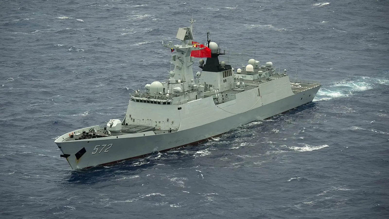
China Maps Ocean Floor in Areas Critical for Undersea Warfare
_160728-N-SI773-3116.jpg)

Reuters says China is mapping the seabed in the Pacific, Indian and Arctic oceans, building data networks with potential value for undersea warfare.
Reuters reports that dozens of Chinese research vessels are mapping the seabed across strategically important parts of the Pacific, Indian, and Arctic oceans. According to the agency, the data collection carries not only scientific significance but clear military value as well.
In a report headlined around China’s preparations for possible undersea warfare with the United States, Reuters says Beijing is using this information to build detailed maps of underwater terrain in areas where submarines could operate in the event of a conflict.
The agency notes that in 2024–2025, the research vessel Dong Fang Hong 3 operated in waters near Taiwan, Guam, and key sectors of the Indian Ocean. Officially, the ship was conducting climate research and studying seabed sediments. Reuters, however, points out that deep-sea mapping of this kind can also be used to track the movements of a potential adversary.
The report also highlights the «Transparent Ocean» project being developed by the Chinese Academy of Oceanology. The initiative involves deploying hundreds of sensors and underwater monitoring systems capable of recording water temperature, salinity, and the movement of underwater currents. This network covers areas near the Philippines, close to Guam and Hawaii, as well as the Indian Ocean and the approaches to the Strait of Malacca.
Chinese officials maintain that the work is being carried out solely for scientific purposes. At the same time, Reuters notes that official documents describe the project as important for ensuring the country’s maritime defense and security.